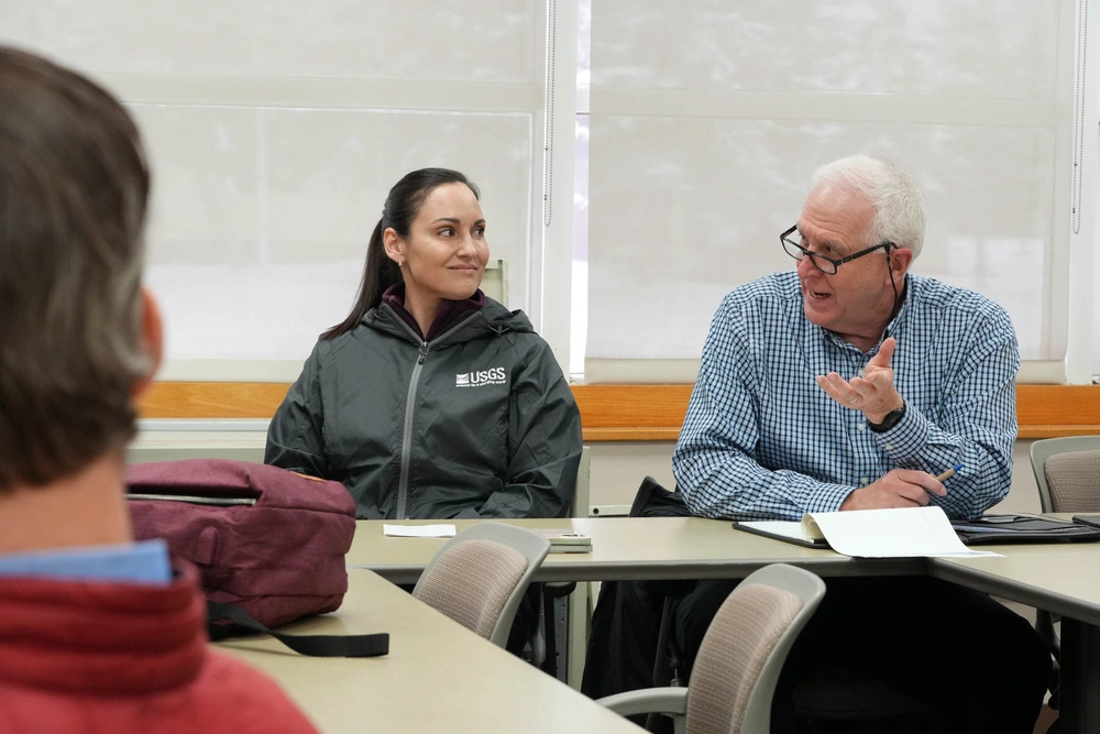
Held at Joint Base Elmendorf-Richardson, the meeting connected USGS geospatial scientists with the Center’s Deputy Director and staff from the Research and Analysis Division. Discussions centered on how enhanced mapping tools, satellite imagery, and Earth observation data can be integrated into future research efforts to increase the situational awareness and operational effectiveness of U.S. warfighters operating in the Arctic.
The USGS National Geospatial Program plays a critical role in providing foundational geospatial data for the nation, including topographic maps and remote sensing products used across government agencies. By partnering with the TSC, USGS experts aim to help advance the development of Arctic-focused research materials that address regional security challenges and enable defense leaders to better understand the physical environment in which U.S. forces must operate.
This meeting marked the beginning of a deeper interagency collaboration that will strengthen Arctic domain awareness and support mission planning, mobility, and survivability in extreme environments.
By working together with partner Federal agencies, the TSC is helping to equip U.S. warfighters with the tools and knowledge they need to enhance readiness and reinforce deterrence in the Arctic—ultimately contributing to the strength of America’s homeland defense.

